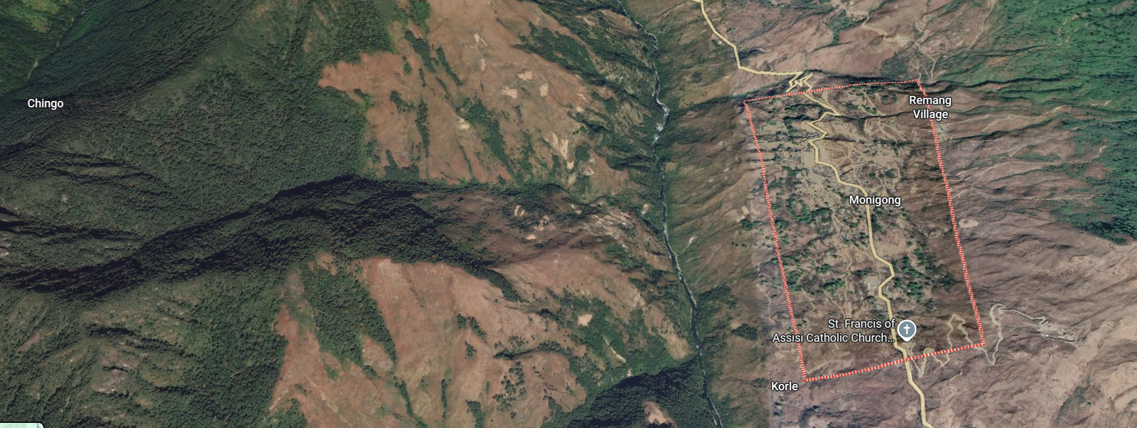
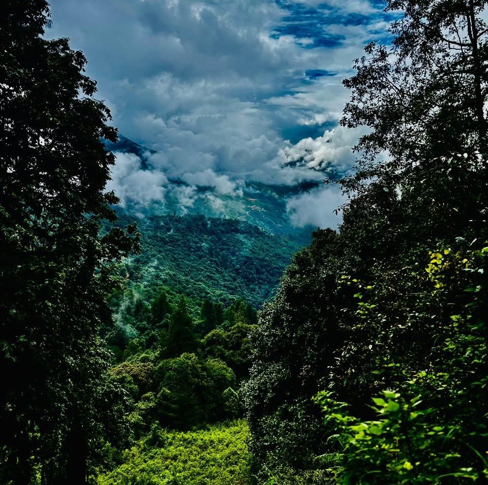
Manigong Valley lies at the far northern edge of Arunachal Pradesh, India’s “land of dawn-lit mountains”, where the country meets the high Himalaya and the old frontier with Tibet. For most of its history this was among the most remote corners of India: forested, roadless, and reached only on foot. Its story is one of mountains that held the world at a distance, and of communities who made a home among them.
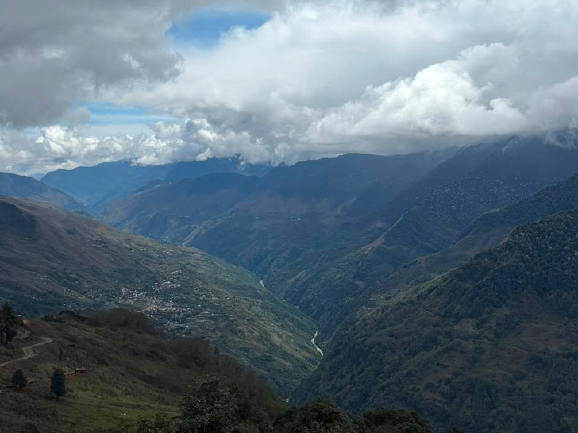
Land of Dawn-Lit Mountains
Until 1972 this whole region was the North-East Frontier Agency (NEFA). It became the union territory of Arunachal Pradesh that year, and a full state of India on 20 February 1987. To the north it is bounded by the McMahon Line, the Himalayan border with Tibet first drawn at the Simla Convention of 1914, which runs just beyond Manigong and Mechuka. Forest still covers most of the land, and for generations life here followed the rhythm of the hills rather than the road.
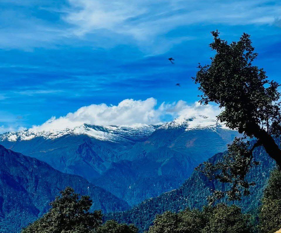
From Aalo to the High Country
The journey north begins at Aalo, the riverside town on the Siyom that serves as the gateway to West Siang. The road climbs along the Siyom into the Manigong, part of the Shi-Yomi district carved out of West Siang in 2018.
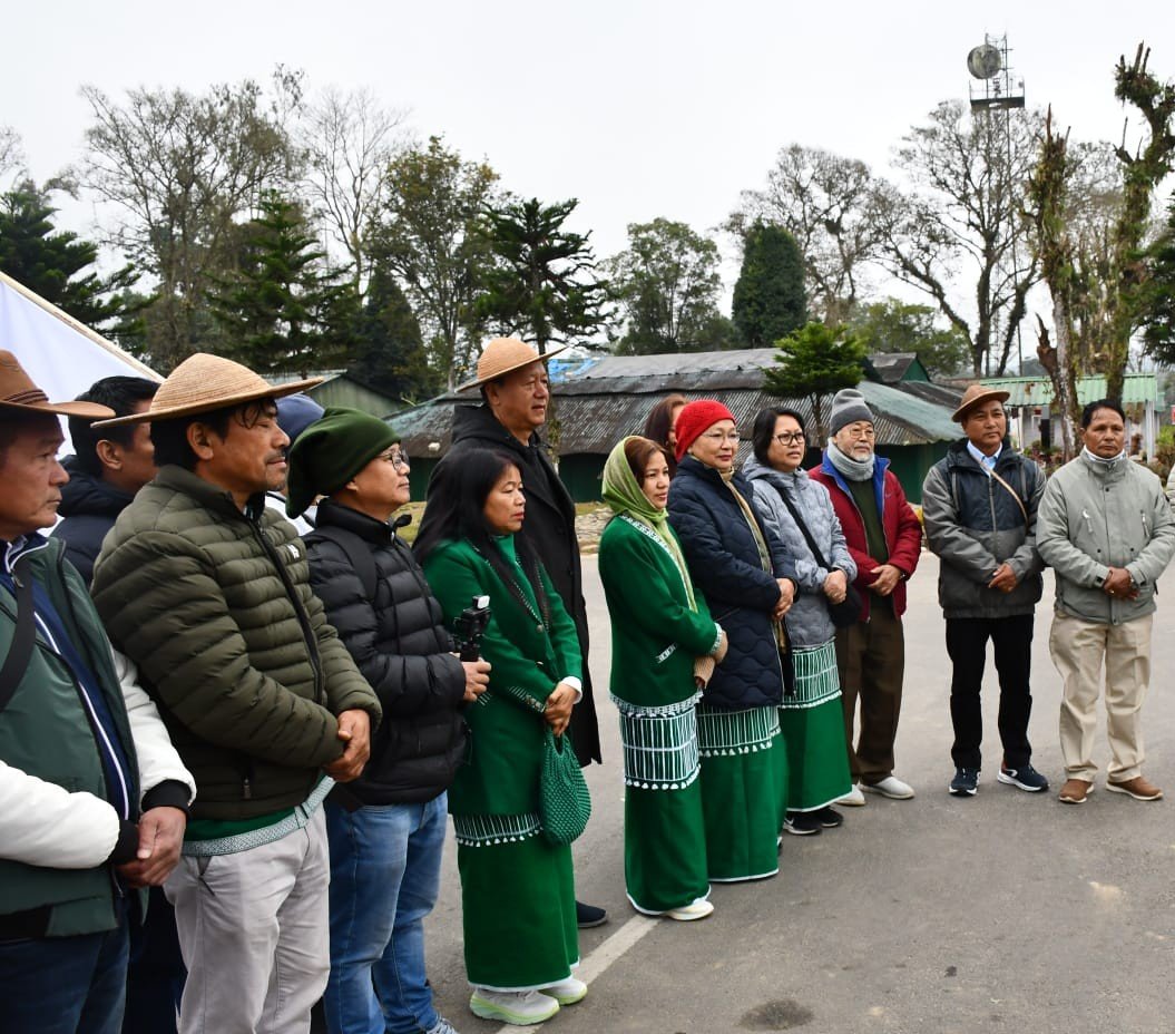
Tani and the Sun-Moon Faith
The valley is home to the Adi Bokar Tribe, part of the wider Tani family of Arunachal. Many follow Donyi-Polo, the indigenous faith that reveres the Sun (Donyi) and the Moon (Polo), and prayer flags line the high bridges and passes. These are communities renowned for fine weaving and for intricate work in cane and bamboo.
The Edge of the Country
Manigong is among the last inhabited places before the McMahon Line. Its remoteness, and its strategic position near the border, kept it cut off for decades, and that very isolation is what preserved its forests, its quiet, and its way of life. Today a single day’s travel can carry you from Aalo to the edge of the frontier on foot.