A road into the hills, until it turns to a kuccha track and the frontier opens up.
Aalo
The day begins in Aalo, the riverside town that opens the road into West Siang. We gather at first light, load the vehicles, and head north as the valley wakes up.
Tato
The road climbs gently through Tato, where terraced slopes and small hamlets line the way. A good place to stretch, breathe the cool air, and watch the hills grow taller ahead.
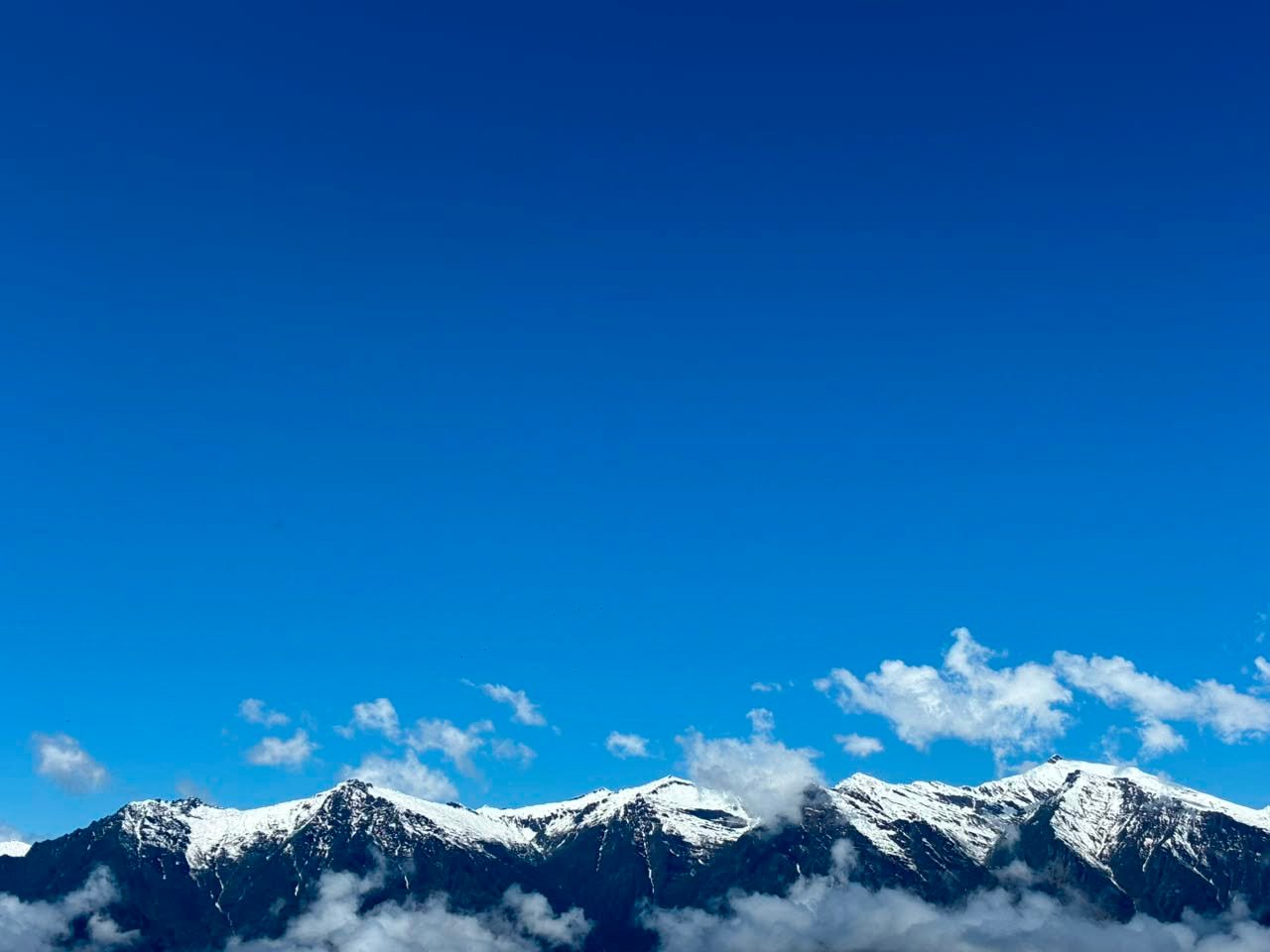
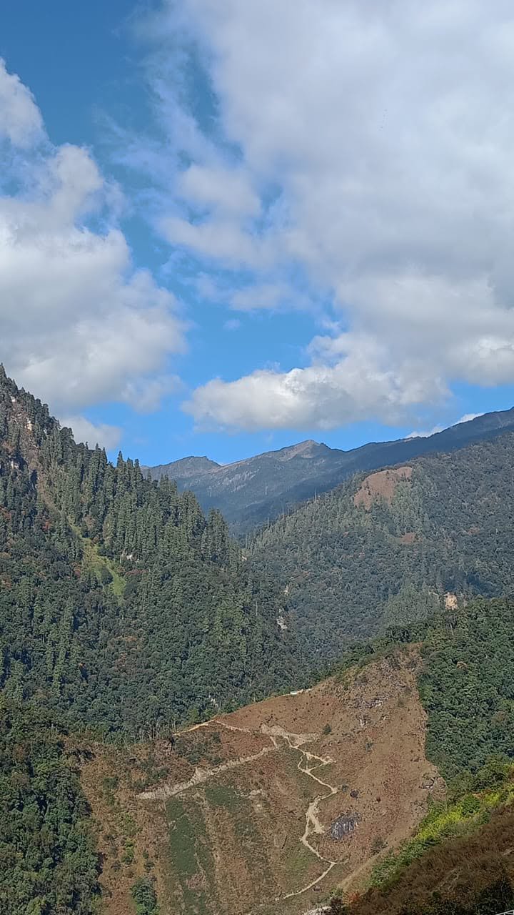
Manigong
Manigong, the valley that gives the journey its name. Forest closes in on either side as the road winds deeper into the frontier, the river never far below.
Tadadege
Tadadege is where the road runs out. We park, shoulder our packs, and step onto the kuccha track, from here, the rest of the way is on foot.
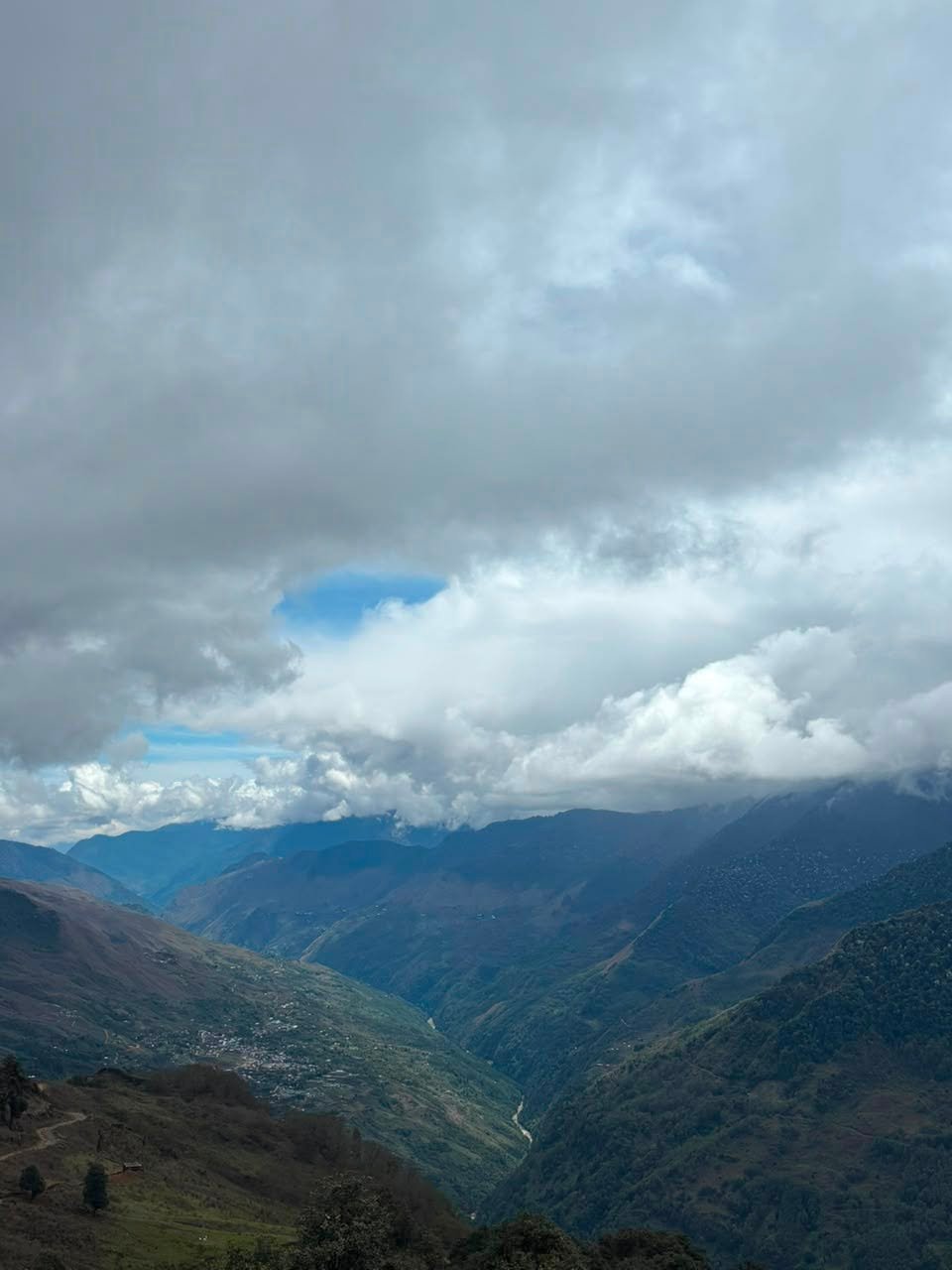
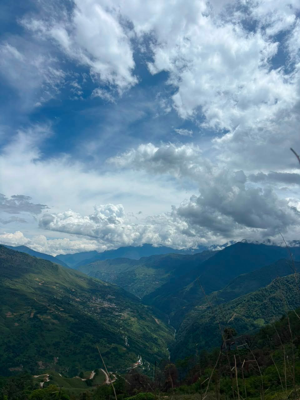
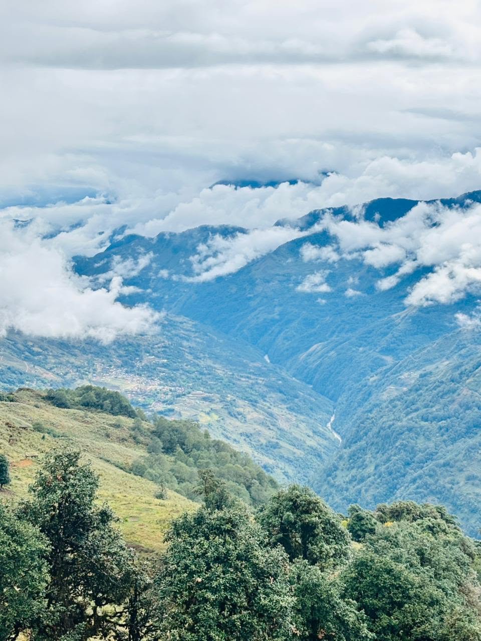
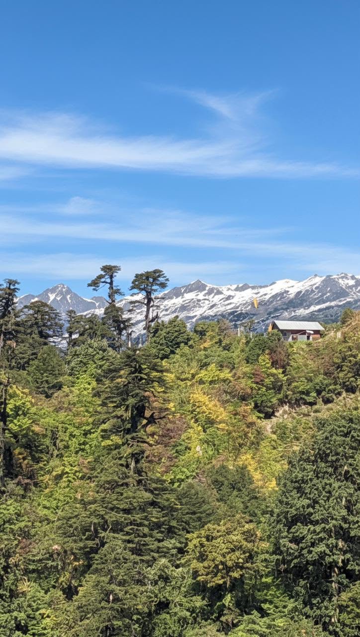
Topo Gonov
The trail to Topo Gonov leads through quiet forest and open ridgelines, the kind of walking that makes you forget the clock. This is the heart of the trek.
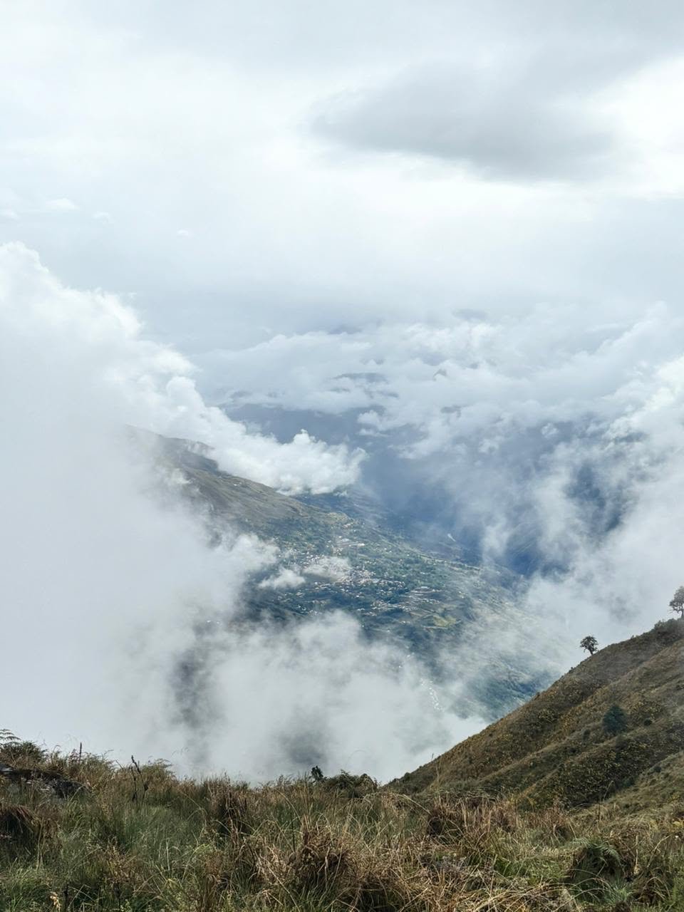
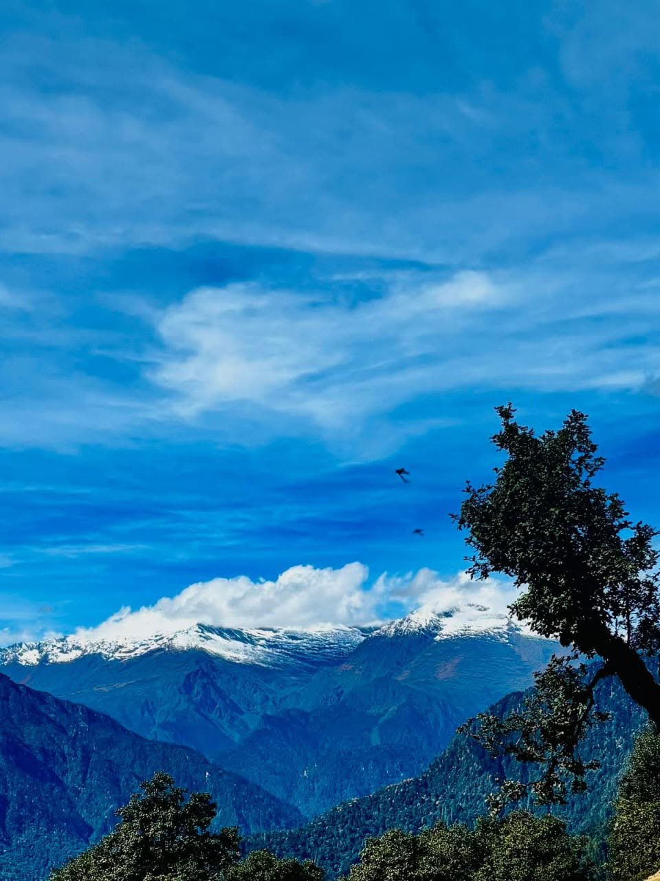
McMahon Line
The path ends at the McMahon Line, the historic boundary drawn across these mountains. We pause as the light turns gold, the frontier stretching away on every side, before turning back.
Plan Your Trek
Tell us your dates and group size and we’ll handle the rest, permits, transport, guide, and a plan paced to your day.
PLAN YOUR TREK- Permits and entry paperwork
- An experienced local guide
- Vehicle transport from Aalo and back
- A packed lunch and refreshments
- Shared first-aid and safety gear
- Sturdy, broken-in trekking shoes
- A warm layer for the heights
- A light rain jacket
- Personal medication and a water bottle
- Sun hat and sunscreen
- A camera for the frontier views